On Saturday, Nov. 9th we drove about thirty miles east of Moab, out Route 128 to the "Amphitheater Loop Trail" and explored that high desert area along the Colorado River. It was a very nice day and we enjoyed the scenery along the trail, even the hard part, up a box canyon, scrambling up over rocks to the edge of a cliff, then along the ridge.
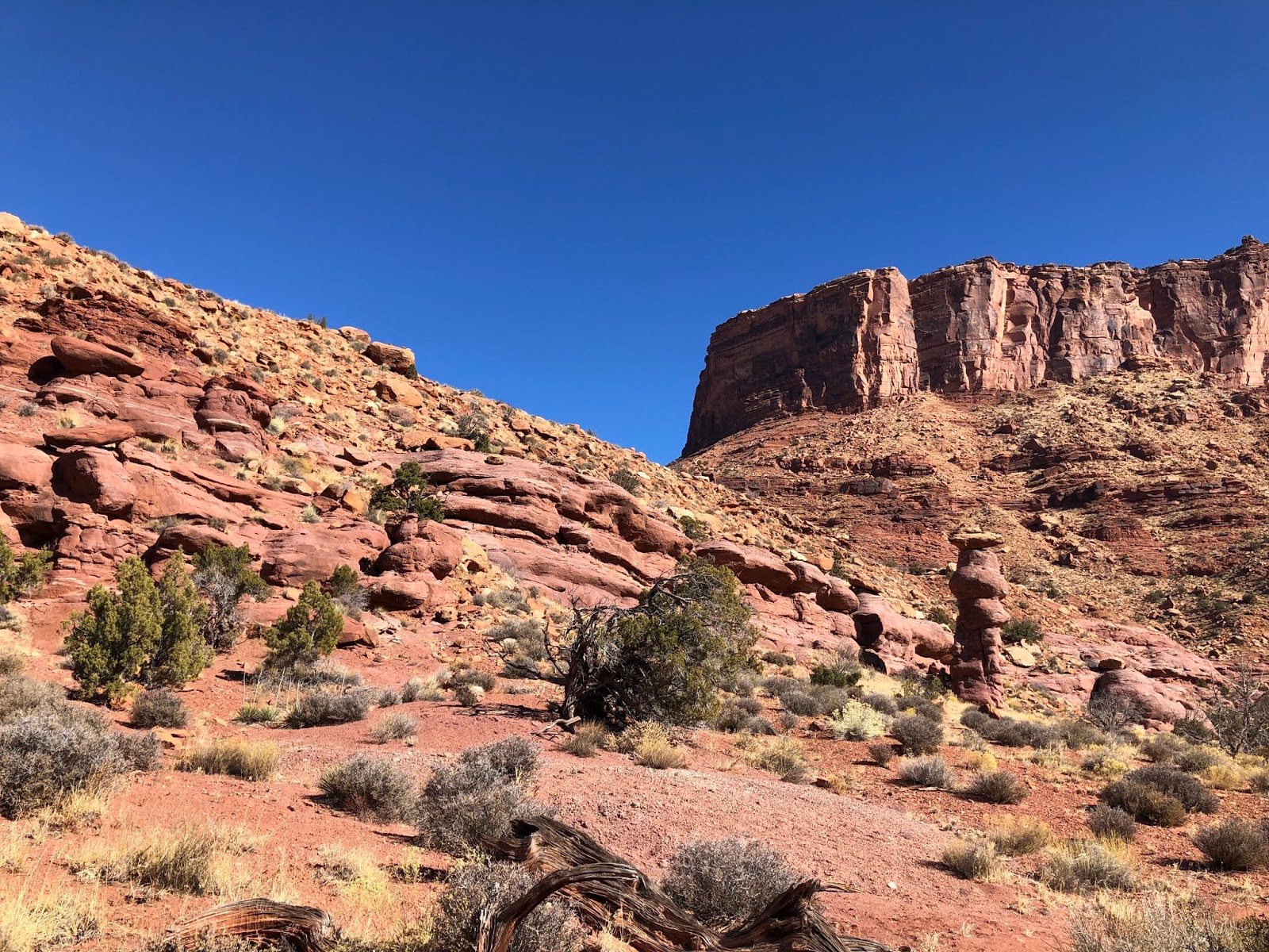


That's Dad working his way up a very steep part of the trail to the top of the box canyon.


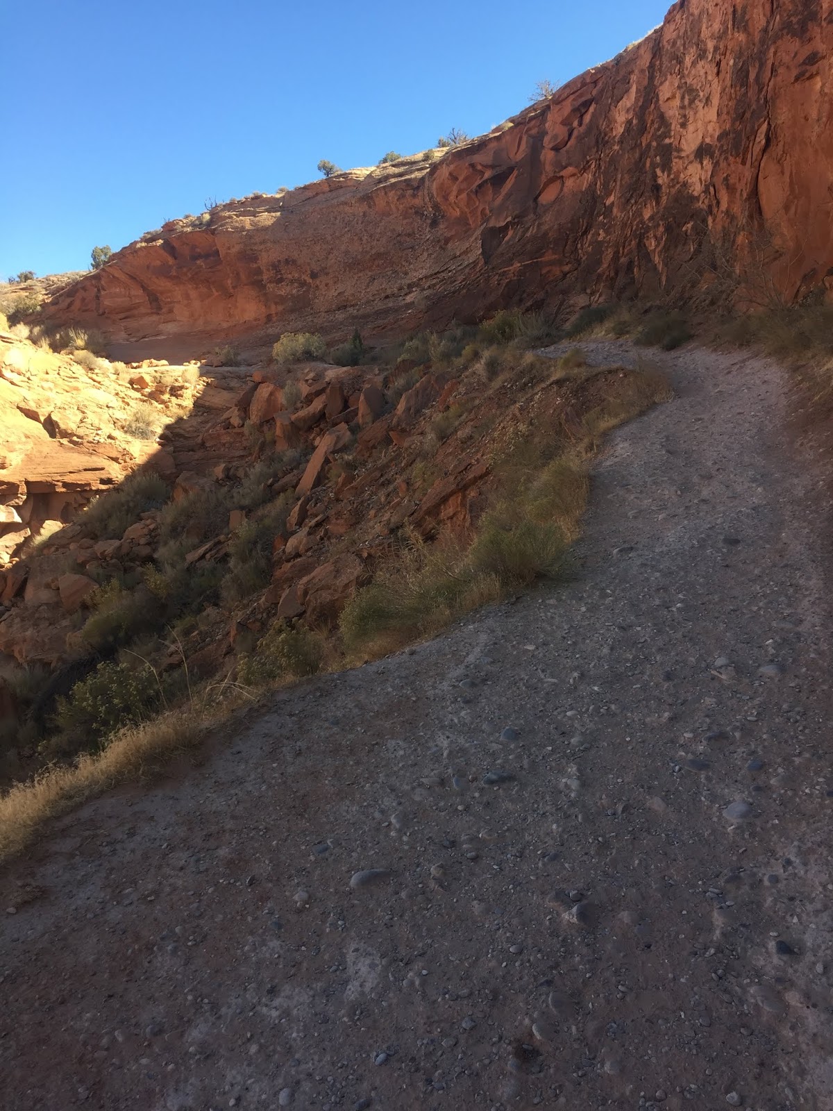
On Sunday, Nov. 10th we drove about 20 miles west of Moab on Route 279 to the Corona Arch Trail. The first part of the trail is very steep and brings hikers to a railroad track that is cut through the sandstone mountain.

We hiked up a hardscrabble trial for a while at the edge of the cliff. Part of the three-mile trail to the arches is on a ledge with a hundred-foot drop-off.
From there, we hiked up over Slickrock to a wash running through a canyon to the base of a cliff leading to the arches at the top.

On the way, we saw another arch in the side of the canyon wall. We asked, but no one seemed to know the name of this arch.

At the base of the cliff leading up to Corona and Bow Tie Arches, there was an obstacle that was daunting to look at. So Dad and I waited at the bottom, while Mom went up, hand over hand holding a steel cable, to get better photographs.


Just after she reached the top, Mom got an extra reward. A Desert Bighorn Sheep decide to make an appearance and wowed the crowd of hikers.

The pictures of the two arches were beautiful and well worth the hike up to view them.
Corona Arch


Bow Tie Arch

Dad and I held our breath as Mom came back down the cliffside by using the steel cable.


She made it and we went back down the trail to the parking lot with the mighty Colorado River on the other side of the railroad tracks and the road. Then home to our house in Spanish Valley.

Tomorrow we are going back to Dead Horse Point State Park to explore some more of that park😊.
No comments:
Post a Comment